Yarra Ranges Council has provided an update regarding burn offs in the Upper Yarra region through a community newsletter on Friday 26 April.
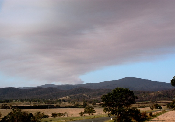
The community newsletter has advised that DELWP, Melbourne Water and Parks Victoria, with the assistance of local plant hire contractors, are continuing with emergency stabilisation works on the fire affected public land in Armstrong Creek and Upper Yarra water supply catchments.
According to the newsletter 94 kilometres of control lines were constructed, comprising 36 kilometres of new control lines and 58 kilometres of road widening.
Rehabilitation of many of these control lines has commenced, however some will be retained for future use.
In addition, over 120 kilometres of roads were either impacted during the fire or are now at risk of increased flooding and erosion. Works to repair and protect the road surfaces and drainage structures is also underway per the newsletter.
To protect the water supply from potentially turbid water, a floating silt curtain has been installed in the Upper Yarra Reservoir. This curtain is 200 metres long and 4.5 metres deep.
The newsletter states that works are expected to be completed by the end of May.
Ten kilometres of the Warburton – Woods Point Road, between Stream Rd, Reefton and Cumberland Junction, Cambarville has been the subject of significant repair work including hazardous tree removal, road resurfacing, guide post replacement, guard rail replacement and drainage works.
Weather has impacted the completion of remaining works. As a result, speed restrictions remain in place.
The newsletter states, weather permitting, the return of the road to normal operating conditions is expected in early May.

