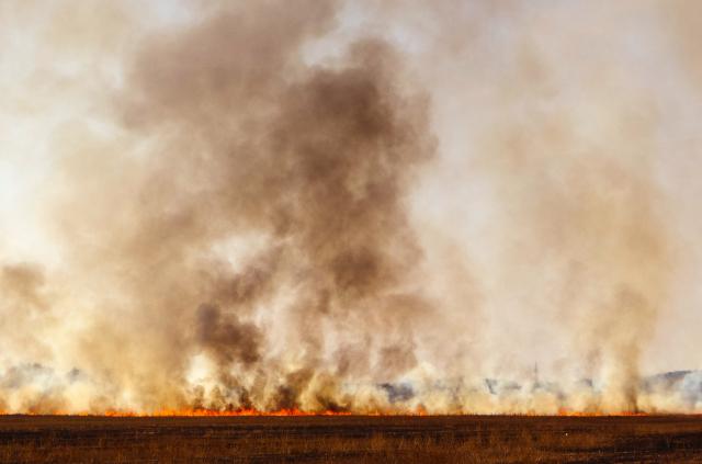
Forest Fire Management Victoria (FFMVic) and Country Fire Authority (CFA) advise that the Gruyere – Range Road planned burn, located at three kilometres north east of Gruyere will be ignited at any time within the next 10 days if conditions are suitable.
The planned burn is 68 hectares in size and is located in the Warramate Hills Nature Conservation Reserve.
The aim of the planned burn is to develop fuel reduced areas of sufficient width and continuity to reduce the speed and intensity of bushfires.
Weather conditions and fuel moisture levels at the burn site are being monitored and safety checks carried out in preparation for the burn. If conditions are not suitable, the burn may be postponed.
Access may be restricted where planned burning is being carried out – this can include forests, parks, national parks, state government and council reserves and along roadsides.