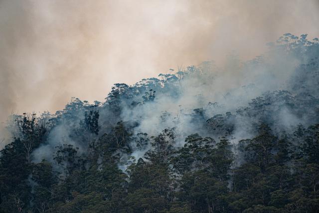
Forest Fire Management Victoria (FFMVic) and Country Fire Authority (CFA) advise that the McMahons Creek – Road 1 planned burn, located at 1km E of McMahons Creek will be ignited at any time within the next 24 hours if weather and other conditions are suitable.
Weather conditions and fuel moisture levels are being monitored.
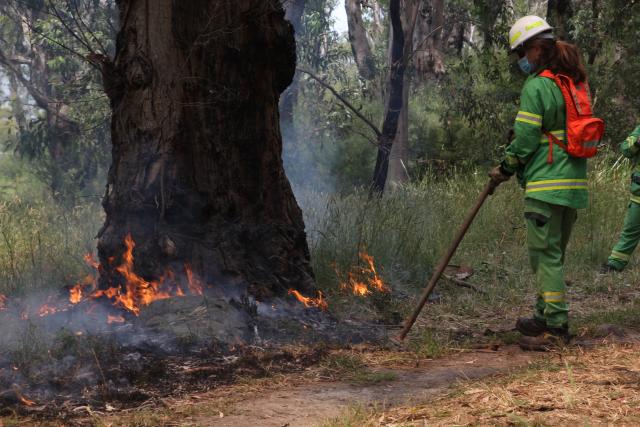
Final site and crew preparations are being carried out.
Note that some burns are carried out in stages, with part of the burn completed, and crews returning later to carry out further work within the burn area.
If so, you will receive notifications when the burn is once again scheduled to be carried out.
What to do about smoke:
Some planned burns can produce heavy smoke.
Smoke can travel long distances. It may also settle in valleys and other low-lying areas, especially overnight.
Think about how smoke from this burn may affect you and what precautions to take to reduce your exposure.
Avoid physical activity during smoky conditions.
Remain inside, if possible. Close windows and doors to prevent smoke from entering buildings and vehicles.
If you are experiencing any symptoms that may be due to smoke exposure, the Department of Health and Human Services advises that you should seek medical advice or call NURSE-ON-CALL on 1300 60 60 24.
What to do about road travel:
Road travel may be hazardous if smoke causes low visibility.
Crews in fire-fighting vehicles will be using local roads to access the burn area.
Road signs may be in place to slow traffic. Obey all traffic signs and instructions from fire agency crews and traffic management crews near planned burns.
For travel times and roadworks check traffic.vicroads.vic.gov.au
Restricted access to planned burn areas.
Be aware of planned burning happening in your local area or in areas you plan to visit.
See plannedburns.ffm.vic.gov.au for where burns are about to occur.
The status of a burn can change quickly.
Be prepared to change your plans and stay away from areas where burns are taking place.
Access may be restricted:
Where planned burning is being carried out – this can include forests, parks, national parks, state government and council reserves and along roadsides.
While final preparations are being made before the burn is carried out during planned burning operations in areas that have recently been burnt while post-burn safety checks are being completed.
During these periods you may not be able to access some roads, walking tracks, car parks, camping grounds, picnic sites and other recreation areas.
Access will be permitted once the planned burn is declared safe – see plannedburns.ffm.vic.gov.au for the current status of FFMVic and CFA burns.