In late May the Yarra Ranges Council endorsed its Tree canopy strategy unanimously and laid out a long-term plan for the management and planting of trees in the region.
Shortly after the ‘Preparing Australian Communities’ national program funded fast-tracked roadside tree assessments and pruning in the Yarra Ranges area early July this year.
Yarra Ranges has one of the most extensive tree populations across metropolitan Melbourne and according to the strategy document trees on private land make up over three-quarters (77 per cent) of the Yarra Ranges tree canopy cover within built-up areas.
Tree canopy cover change on private land between 2014 and 2018 had a loss of 3.23 percentage points (34.7 per cent to 31.47 per cent), with Belgrave-Selby the only area to experience a minor increase.
Tree canopy cover change on public land between 2014 and 2018 had a loss of 1.96 percentage points (30.38 per cent to 28.42 percent), with the Dandenongs experiencing the greatest losses, while Mount Evelyn, Monbulk-Silvan and Kilsyth had minor losses.
Some of the more urbanised areas such as Mooroolbark, Montrose and Lilydale-Coldstream had minor increases in tree canopy cover.
Data presented in the strategy said that the major storm event in Dandenong Ranges in June 2021 showed that 229 hectares of canopy cover were lost in the Dandenong Ranges— roughly the equivalent size of 128 Melbourne Cricket Grounds. The document did not clarify if this included public areas or national and state forests.
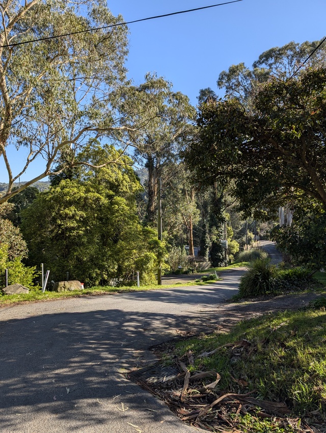
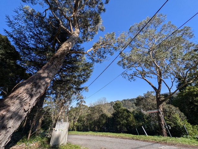
The council has identified over 3,000 trees needing pruning or removal with its recent roadside assessments and immediate work went underway to address 200 hazardous trees and reduce bushfire risk.
Director of Built Environment and Infrastructure, Hjalmar Philipp said that qualified arborists are proactively inspecting strategically, from a fire safety and access perspective, important roads and recommending removal where necessary.
“We are also removing some groups of Pinus radiata, as they are an environmental weed and can be very flammable (for example: a pine tree caused severe fire damage in Canberra, January 2003),” he said.
Mr Phillip said that council are only removing trees that are assessed as dangerous.
“The PAC program does not include funds for replanting. Accordingly, we will replant areas where there has been significant landscape change due to the amount of trees removed, but not every site,” he said.
Removed vegetation will be managed by Yarra Ranges and Mr Phillip said when safe to do so, they leave logs cut to a manageable length for residents to take as firewood.
“We use the mulch in our parks and gardens,” he said.
The community told the council through the engagement process for the strategy that their were concerns that too many trees were being cut down for new development and that tree canopy cover targets aren’t enough.
In Yarra Ranges the population is expected to grow by 15.23% to 185,902 by 2041 and according to the strategy document, alongside this growth and development the cumulative impact of tree loss from development may be ‘significant’.
The community has asked for the council to motivate tree retention and tree planting on private land and to use up-to-date tree canopy cover data to inform tree management decisions.
The strategy has aimed for the community to have a greater understanding of the role, function and importance of trees, have greater knowledge and appreciation of culturally significant trees and also increase their participation in greening and biodiversity programs.
It also aims to stabilise or increase canopy cover on public land in built-up areas.
This includes finding and planting in priority locations where canopy cover is low or declining across Lilydale and its surrounding suburbs as well as the urban parts of Yarra Glen, Healesville and towns in the Dandenong Ranges and Yarra Valley.
It does not cover the protection, management, or planting of trees on land managed by other agencies, such as national parks and state forests.
Part of the tree canopy strategy aims to increase tree canopy cover from 31.68% to 35% on public land in built-up areas while at the same time reducing hazardous trees along roadsides for bushfire preparedness.
Tree inventories are a key part of best practice tree management and the strategy said that the large tree population within Yarra Ranges means that collecting and maintaining a complete tree inventory would be costly and time-consuming.
However, Mr Phillip said that Yarra Ranges will be doing an inventory for large habitat trees on council managed land in built up areas, and also an inventory of culturally significant trees on council-managed land in all areas.
The strategic document outlines a plan to partner with the State Government and neighbouring councils on acquiring, or council to acquire its own periodic tree canopy cover data.
By 2026 the strategy plans to start several ‘foundation’ actions to plan and begin carrying out the expansive strategy.
The full document is available on the Yarra Ranges council website at: www.shaping.yarraranges.vic.gov.au/tree-canopy-strategy-2024-2044