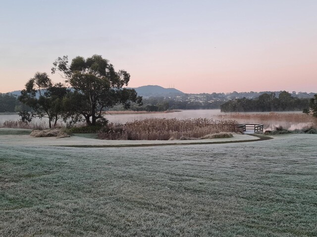
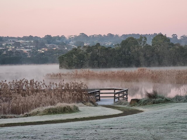
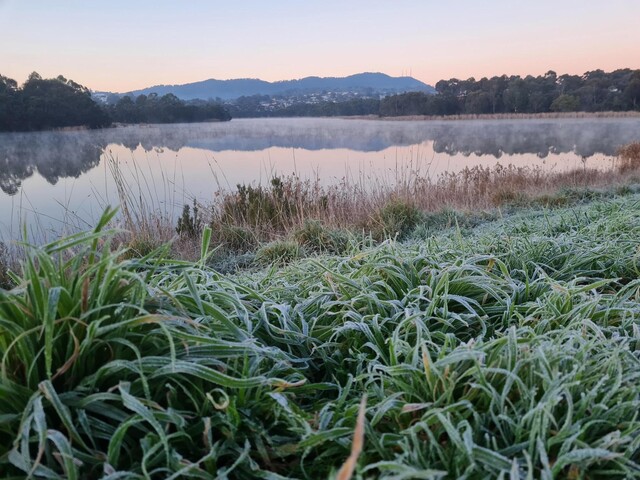
The first week of July has brought with it a cold snap of frosty mornings and clear skies but meteorologists have said, so far, it won’t break many records.
Coldstream’s weather station recorded lows of minus 0.1 as early as 8.30pm on Tuesday night reaching its peak of minus 3.9 just before 8am on Wednesday 3 July.
By 11am in the Valley it had reached 7.4 degrees with sunny, blue skies heralding a glorious winter’s day.
It was so cold in some parts, however, one person said “while driving through Yarra Glen my windscreen froze so much my wiper blades would not turn on”.
For those in the suburbs, Scoresby’s weather station recorded a low of minus 1.8 just before 6am on Wednesday and had reached 9.1 degrees by 11am.
“Was great as the sun warmed up. All the cold spots stayed frosted whilst the sunny spots had no frost at all,” one person said on social media.
Bureau of Meteorology meteorologist Helen Reid said there had been “predominantly clear skies across Victoria” with some fog patches across parts of the state.
“Winds have been very light or calm, and the air is dry. Each district has seen a few locations where the temperature has dropped below zero,” she said.
Mount Hotham topped the table for the coldest place in the state seeing temperatures drop to minus 5.2.
The end of June and start of July has brought true winter temperatures, with Ms Reid confirming a high pressure system is to blame.
“It has been a run of cold mornings this week, as a ridge of high pressure has become dominant over the region with clear skies and light winds allowing the temperature to drop right down each morning,” she said.
Despite the chilly mornings, Ms Reid said it didn’t appear likely that records would be broken but the Bureau’s climate team would have a busy time checking all the data.
“We have seen a few places that recorded a minimum temperature that’s in the lowest 10 for the month of July, although some of these locations have only about 20 years of data.
“And whilst the days have been chilly, it doesn’t look anywhere close to being the coldest maximum temperature on record.”
Ms Reid said the state would continue to be “dominated by the high pressure system” for the remainder of the week, meaning “more clear skies and frosty mornings are expected”.
“Severe frost is possible with the temperatures down to minus three degrees and that’s in a few of the districts through the northeast and central regions.”