Yarra Ranges Council has teamed up with Melbourne Water to deliver an upgrade to a popular walking track in the Upper Yarra.
The Mt Victoria track starts off near Wellington Road and Martyr Road in Warburton and is about a 15km total round trip.
Yarra Ranges Council Mayor Sophie Todorov said the project was instigated through a conversation between Council and Melbourne Water.
“Our teams were keen to increase our capacity to reduce weed loads and improve connectivity between the waterway and nearby national park,” she said.
“Given the extent of deer within the area, we felt it appropriate to install a number of deer exclusion fenced plots, which will protect some revegetation we’re doing in the month or two ahead.”
The revegetation effort is expected to consist of about 500 plants.
Ms Todorov said they look forward to working with Melbourne Water and seeing community members embrace this upgraded trail.
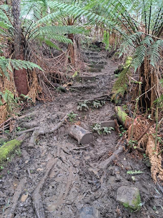
“The track has always been a steep goat track, with a shin-deep mud pit at the bottom. This wasn’t great for the safety of trail users, and it also resulted in a lot of sediment moving into the waterway,” she said.
“Council has invested in upgrading the track, to improve trail user safety, reduce the environmental impacts of the trail and to make it easier for Council and Melbourne Water staff to undertake conservation works,”
“The second phase of the project will be to further extend deer proof fencing along the track to enable natural regeneration of the area and improve connectivity up to the aqueduct trail.”
According to its AllTrails profile, the Mt Victoria track is of ‘medium-hard difficulty’ and very steep with an almost 1100m ascent over its entire duration while it can also get quite muddy and be frequented with leeches after rain.
Those wishing to reduce the difficulty of the hike can also access the track from its intersection with Donna Buang Road, which is about halfway up the track. Dogs are not permitted on this track.

