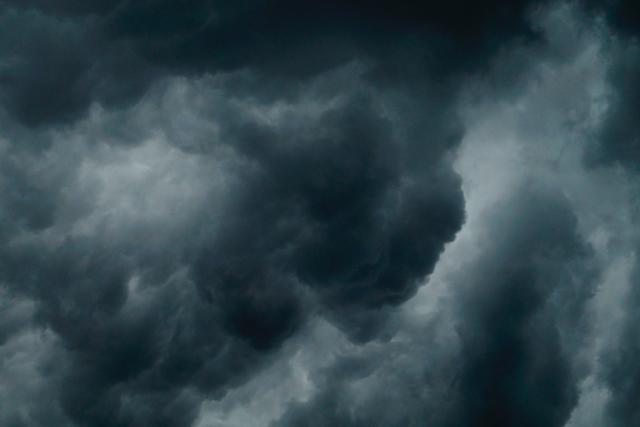
The Bureau of Meteorology has issued severe weather warning for damaging winds and heavy rainfall for people in parts of Central, East Gippsland, South West, North Central, North East, West and South Gippsland and Wimmera Forecast Districts.
Damaging wind gusts and heavy rainfall expected across elevated parts of the state today and Friday.
Damaging winds averaging 60 to 70km/h with peak gusts of around 110km/h are possible for elevated peaks over 1200m during this evening and early Friday morning.
Winds are expected to ease by late Friday morning.
For Northeast ranges, heavy rainfall which may lead to flash flooding is forecast to develop during late this evening into early Friday morning.
Six-hourly rainfall totals between 50 and 70mm are possible.
This threat is likely to ease by late Friday morning.
The State Emergency Service advises that people should:
If driving conditions are dangerous, safely pull over away from trees, drains, low-lying areas and floodwater. Avoid travel if possible.
Stay safe by avoiding dangerous hazards, such as floodwater, mud, debris, damaged roads and fallen trees.
Be aware – heat, fire or recent storms may make trees unstable and more likely to fall when it’s windy or wet.
Check that loose items, such as outdoor settings, umbrellas and trampolines are safely secured. Move vehicles under cover or away from trees.
Stay indoors and away from windows.
If outdoors, move to a safe place indoors. Stay away from trees, drains, gutters, creeks and waterways.
Stay away from fallen powerlines – always assume they are live.
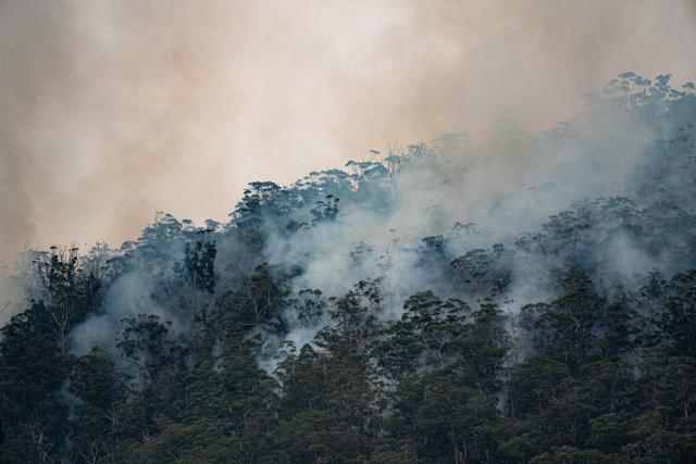
Be aware that in fire affected areas, rainfall run-off into waterways may contain debris such as ash, soil, trees and rocks. Heavy rainfall may also increase the potential for landslides and debris across roads.
Stay informed: Monitor weather warnings, forecasts and river levels at the Bureau of Meteorology website, and warnings through VicEmergency website/app/hotline.